Tutorial – Step 2. Initialize RDII Analyst in InfoSWMM
Step 2. Initialize RDII Analyst
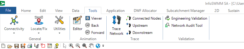
1. Initialize RDII Analyst by selecting RDII Analysis from the InfoSWMM or InfoSWMM SA Applications menu:

2. You can also make a custom Icon for RDII Analyst using the Customize Menu command of Arc Map (InfoSWMM Only) and then use that Icon to open RDII … Read the rest

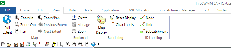
 Full spatial extent of the InfoSWMM SA Network.
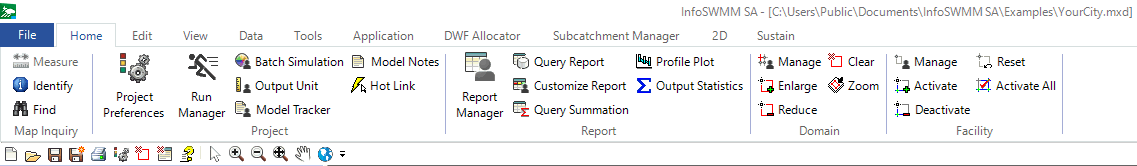


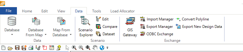
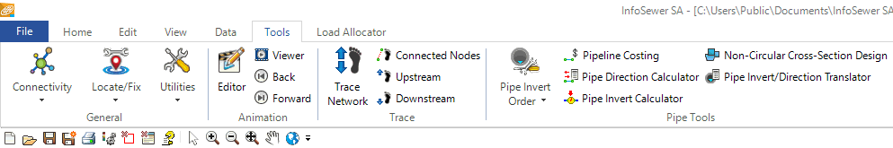
 Full spatial extent of the InfoSewer SA Network.